If you’re just getting started with AssetAlly, welcome! Though we’ve designed an intuitive and user-friendly software, this basic guide to will help you easily navigate the first steps necessary to implement your new GIS.

Articles
Explore AssetAlly Tips & Tools.
See GIS in Action.
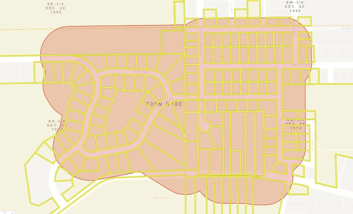
The benefits of using a GIS to manage your community’s assets are vast, but the implementation process can often seem overwhelming, especially when there are multiple stakeholders and departments involved. Fortunately, there are steps you can take at the beginning of the set-up process to avoid unnecessary headaches and set your team up for long-term success. Here are a few of our best tips to help your municipality jump start its GIS implementation.
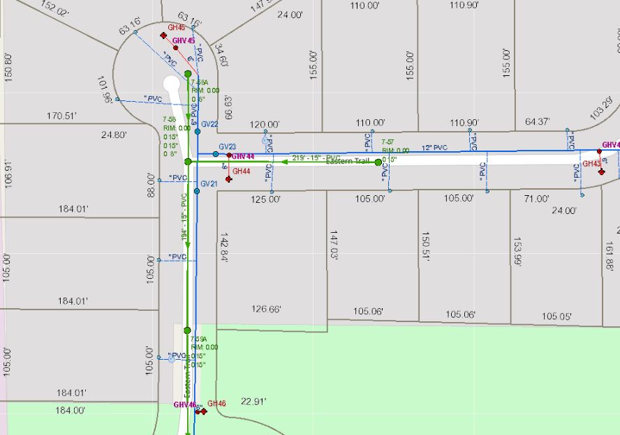
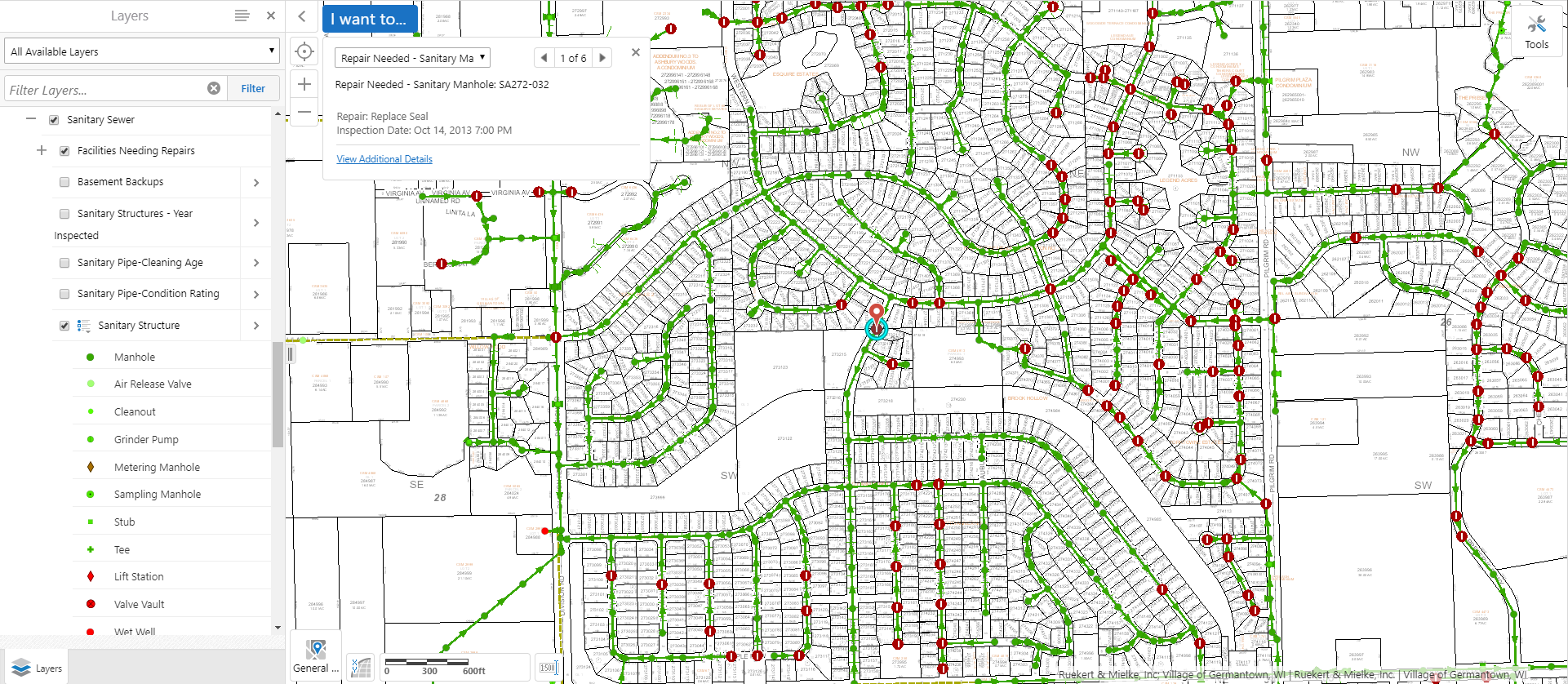
Manholes are the primary points of access to your community’s underground infrastructure. The AssetAlly Manhole Inspection Tool streamlines the inspection process, giving your team portable, digital access to previous inspection data and the ability to efficiently complete new inspections on-the-go.
Every odd year, Wisconsin municipalities are required to conduct road ratings and submit their findings to the Wisconsin Department of Transportation (WisDOT). Learn how AssetAlly can help your team visualize your ratings and the evolving state of your community’s roads, making it easier to prioritize road maintenance and adjust your budget accordingly.
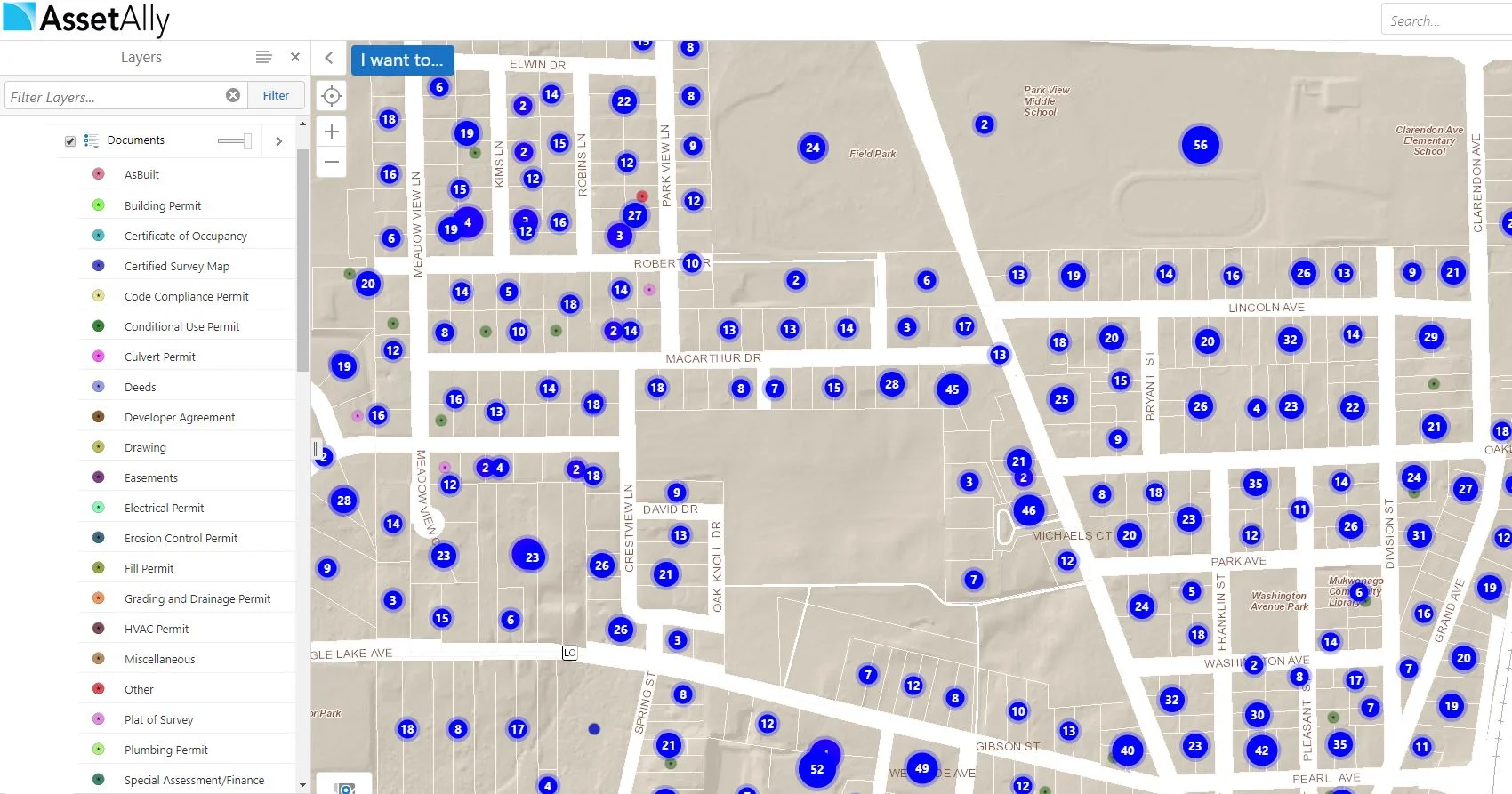
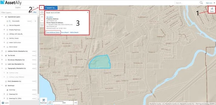
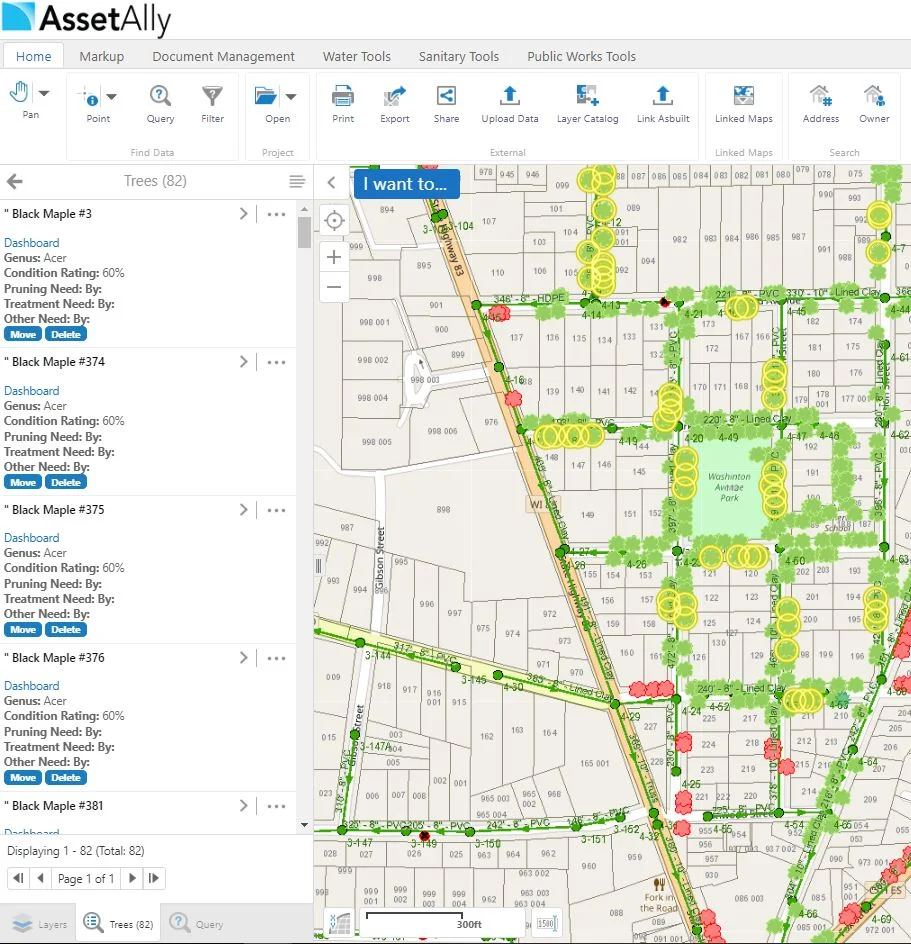
Are you looking for ways to cut down the amount of time you have to spend on administrative tasks? AssetAlly can help you maintain and organize all of your documents in a safe and convenient location. This information can be easily shared across departments, so there’s no more fetching documents for anyone!
This week we will cover the basics of our Illicit Discharge Inspection Tool! We decided to make the long and grueling inspection process easier for you by putting this tool in your AssetAlly application. Not only does the Discharge Inspection Tool allow you to access important attribute data associated with outfall structures in your community, but it also conveniently produces an organized PDF report containing the information you entered into your GIS.