The Wisconsin DNR Urban Nonpoint Source & Storm Water Management (UNPS) Planning Grant Program applications are due April 17, 2023. Here are a few suggestions on how to prepare for these projects in your GIS!

Articles
Explore AssetAlly Tips & Tools.
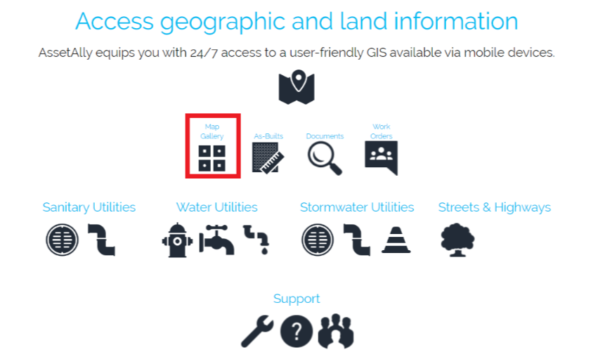
See GIS in Action.
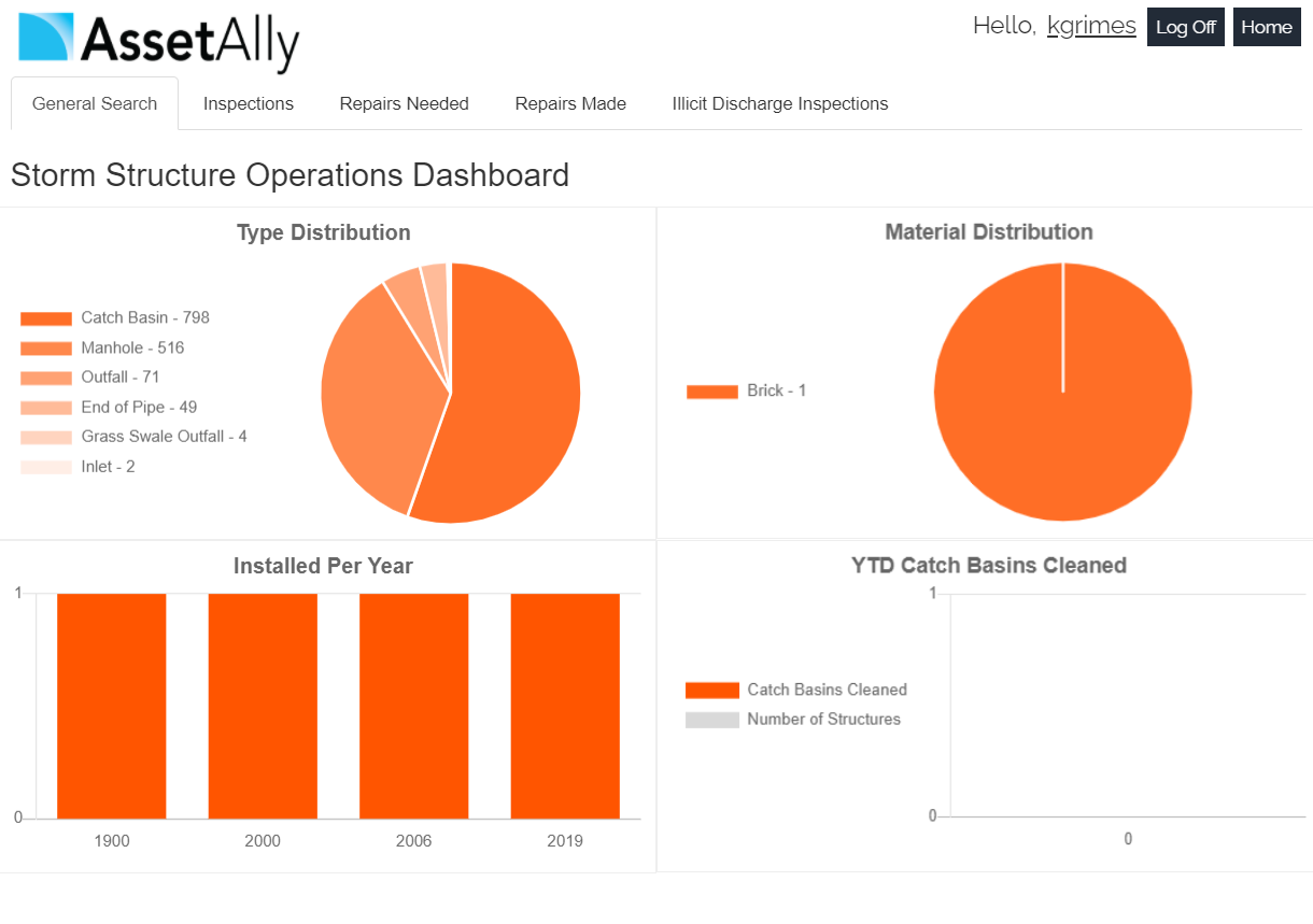
AssetAlly now includes new Operations Dashboards that give you an instant graphic overview of important community data like your team’s current workload, annual routine maintenance progress, and other essential infrastructure statistics. Learn how this new feature will help you spend less time crunching numbers and more time improving your community.
Manholes are the primary points of access to your community’s underground infrastructure. The AssetAlly Manhole Inspection Tool streamlines the inspection process, giving your team portable, digital access to previous inspection data and the ability to efficiently complete new inspections on-the-go.
This week we will cover the basics of our Illicit Discharge Inspection Tool! We decided to make the long and grueling inspection process easier for you by putting this tool in your AssetAlly application. Not only does the Discharge Inspection Tool allow you to access important attribute data associated with outfall structures in your community, but it also conveniently produces an organized PDF report containing the information you entered into your GIS.
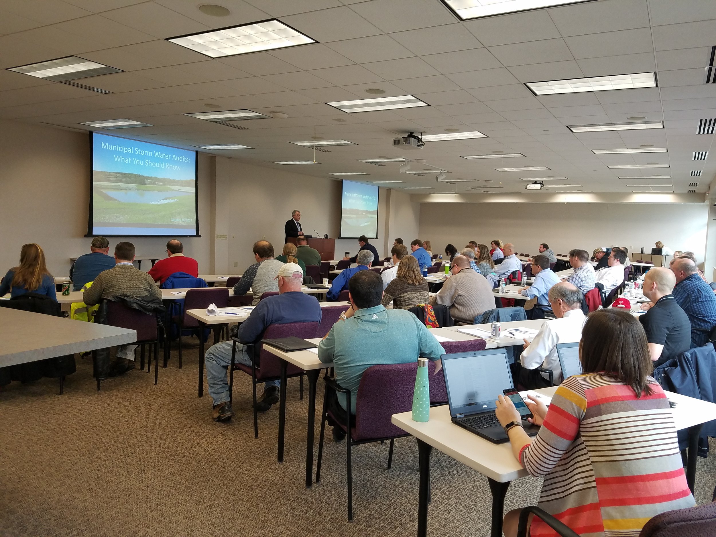
Yesterday, our Waukesha office held a seminar concerning Wisconsin DNR audits for MS4 permit holders. While a bunch of great information was discussed, our very own Bronson Jastrow, GIS whiz and famed #TipTuesday writer, presented on how GIS can help keep communities prepared- especially if they're facing a dreaded audit!
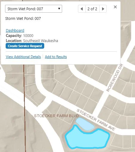
One of the best ways GIS can help is by keeping communities organized. Our GIS capabilities allow you to link documents (such as design and compliance records) straight into a map, making them easy to access and all compiled in the same place.

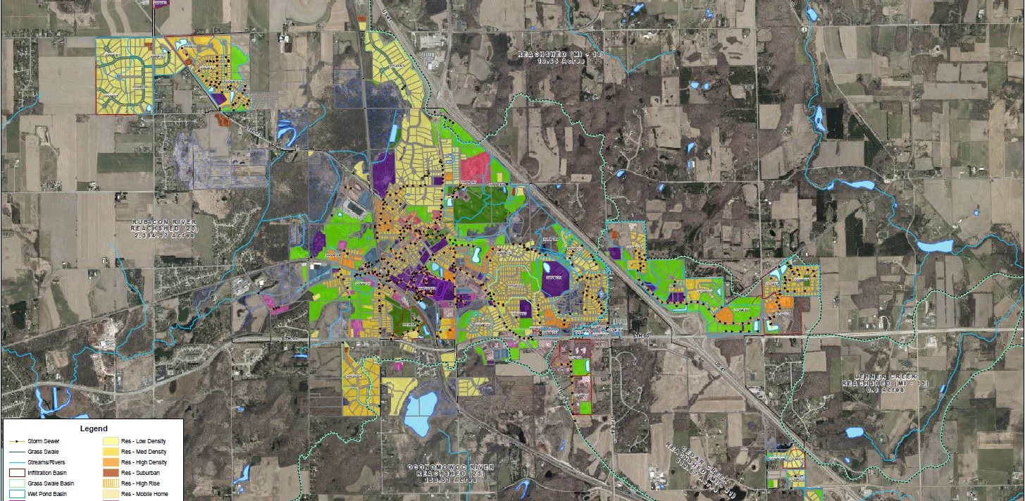
Beyond the simplicity of linking, viewing, and organizing documents, we have a suite of tools that can make preparing for a DNR audit a breeze, such as: Erosion Control & Inspection, Illicit Discharge, Pond Inspection, and Storm Structure Maintenance & Cleaning - keeping a history of compliance on each storm water asset.

If you want more information on WDNR MS4 audits and how GIS can help, check in with your favorite GIS tech, or hop over to our website where we have the presentation slides uploaded!