June is just around the (river)bend! It is also recognized as National Camping Month AND National Great Outdoors Month.
What better way to celebrate than taking a paddling/camping trip down one of Wisconsin's scenic river waterways?

Articles
Explore AssetAlly Tips & Tools.
See GIS in Action.
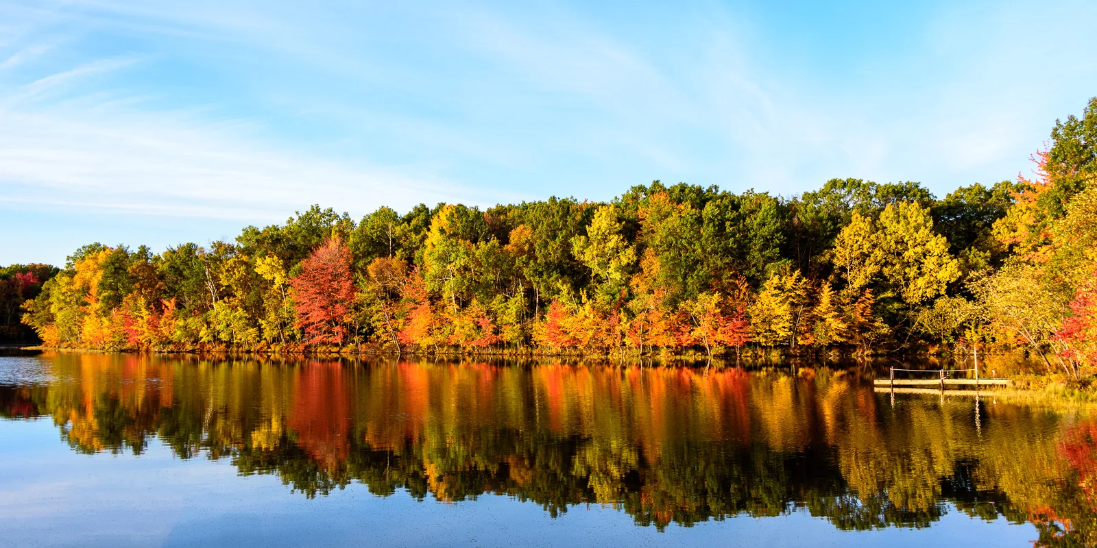
September 22, 2017 is the astronomical start of fall here in the Northern Hemisphere! The interactive map below (click on image to link to website) has been produced to forecast peak leaf colors each year. The map compiles National Weather Service data on historical temperatures, forecast temperatures, and forecast precipitation, as well as historical leaf peak and peak observation trends in order to make the most accurate predictions.
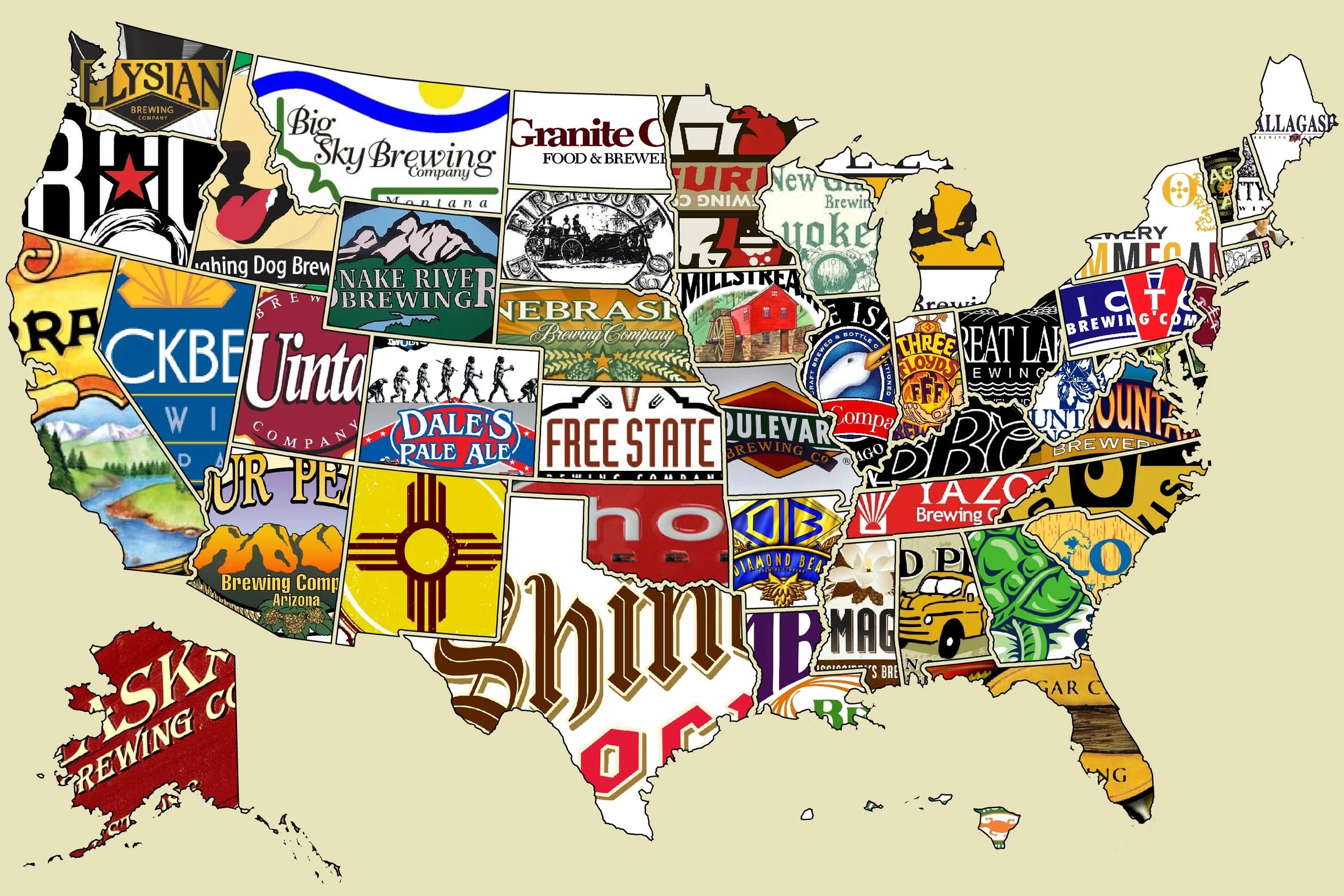
Today is recognized as National Refreshment Day! Seeing as beer has been a rich part of Wisconsin culture and history, why not explore a creative approach that has been taken in the mapping of beer! First, here is an interesting read by Andrew Shears, Local to National and Back Again: Beer, Wisconsin, and Scale, a chapter in his book "The Geography of Beer."
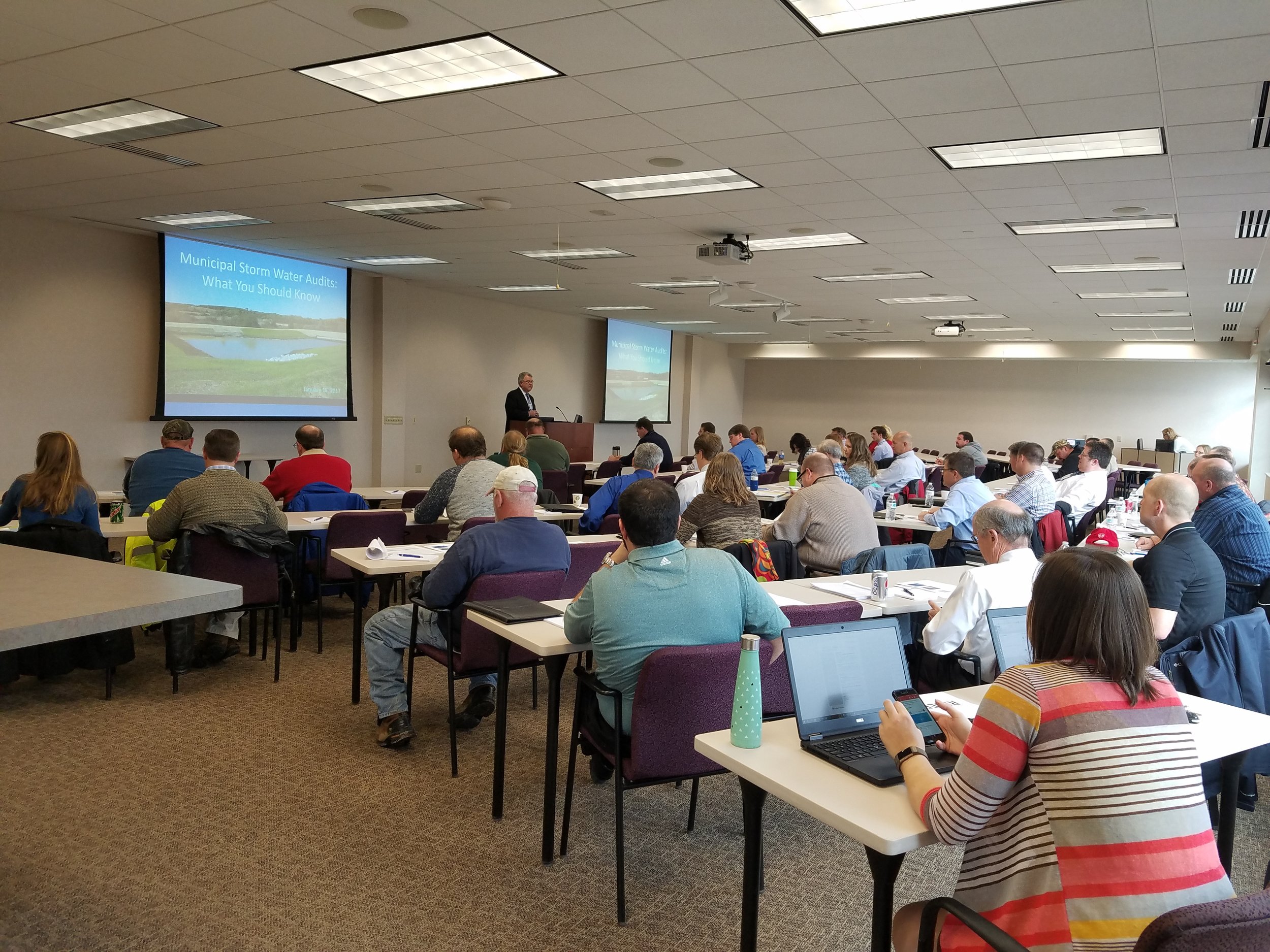
Yesterday, our Waukesha office held a seminar concerning Wisconsin DNR audits for MS4 permit holders. While a bunch of great information was discussed, our very own Bronson Jastrow, GIS whiz and famed #TipTuesday writer, presented on how GIS can help keep communities prepared- especially if they're facing a dreaded audit!
One of the best ways GIS can help is by keeping communities organized. Our GIS capabilities allow you to link documents (such as design and compliance records) straight into a map, making them easy to access and all compiled in the same place.

Beyond the simplicity of linking, viewing, and organizing documents, we have a suite of tools that can make preparing for a DNR audit a breeze, such as: Erosion Control & Inspection, Illicit Discharge, Pond Inspection, and Storm Structure Maintenance & Cleaning - keeping a history of compliance on each storm water asset.

If you want more information on WDNR MS4 audits and how GIS can help, check in with your favorite GIS tech, or hop over to our website where we have the presentation slides uploaded!