Wildfire

California - Fires and Flooding

California - Fires and Flooding

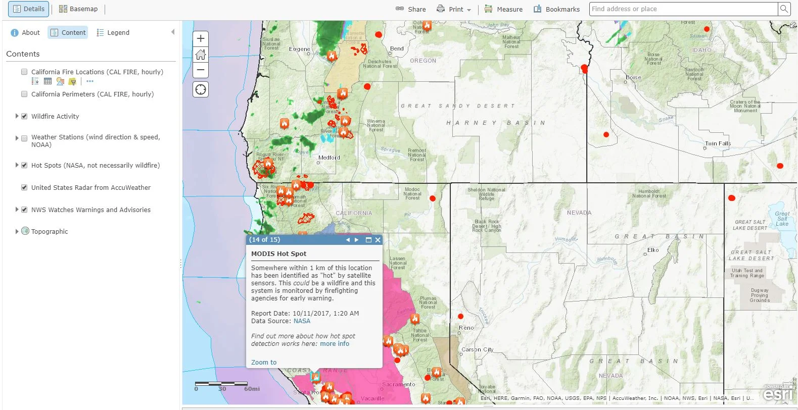
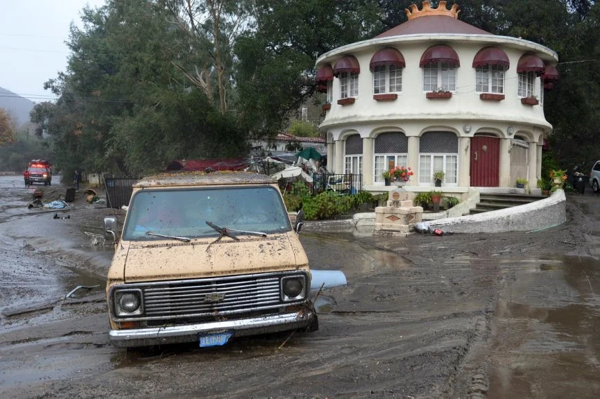
At least 13 lives have been lost in a tragic mudflow that swept across Ventura and Santa Barbara Counties in California earlier this week. Heavy rains have made Southern California susceptible to flooding and debris flows, particularly following the recent wildfires which stripped the steep terrain of vegetation. Vegetation is a crucial component involved in holding the land together during periods of precipitation. The fires transformed the physical properties of the soil, making it less absorbent. Thus, the soil becomes much more vulnerable to erosion.

National Fire Prevention Week

National Fire Prevention Week

As this week is National Fire Prevention Week, we will take a look into how GIS technology is providing awareness and safety to the communities in Northern California that are currently being ravished by deadly wildfires. As mentioned in our previous post about Hurricane Harvey and Irma, GIS not only provides the general public with crucial information in disaster situations, but it also allows first responders and policy makers to work more efficiently. By clicking on the image below, you are able to view Esri's US Wildfire Activity Web Map.