

This year, May 14-21, 2018 is recognized as the sixth annual National Infrastructure Week. "National Infrastructure Week is a national week of events; media coverage; and education and issue advocacy to elevate infrastructure as a critical issue impacting America's economy, society, security and future." To learn more, please visit the Infrastructure Week website.
GIS is a valuable contribution in terms of planning, managing, and maintenance of utility infrastructure. Identifying facilities, tracking work, and planning operations depend on having all of the data accessible and open for collaboration. GIS provides a unique and versatile means of communication and efficiency within the infrastructure industry. The role of GIS does not end with the design and planning of infrastructure. GIS becomes an essential tool in asset management once the infrastructure is in place as well.
So, what are some ways GIS assists in solving infrastructure issues?
Pipes by Year Cleaned - Village of Mukwonago, WI
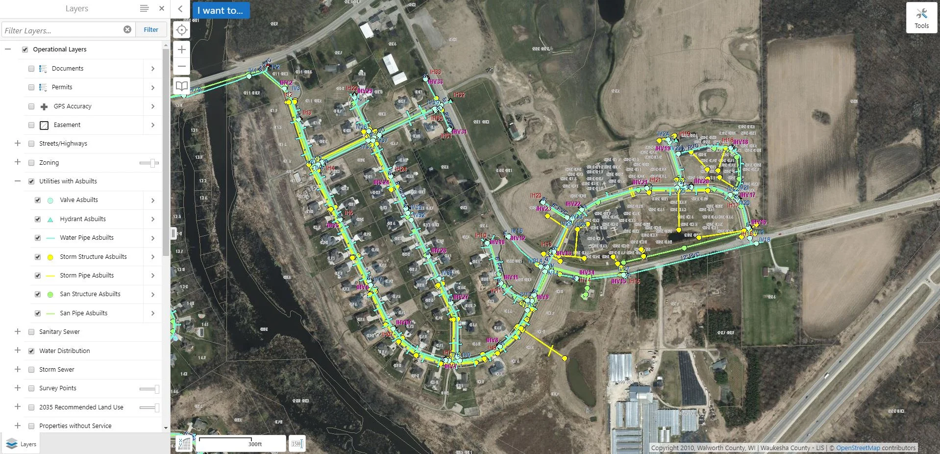
One community using GIS to improve their infrastructure is the Village of Mukwonago, WI. The Village utilizes their GIS to store data on easements, utilities, permitting (building and erosion control), and as-built linking in one convenient location. Additionally, they use GIS as a way to track and record their utility repairs. This saves time, money, and spares quite a few headaches!
To learn more about the Village of Mukwonago's experience with GIS, read their case study.
