

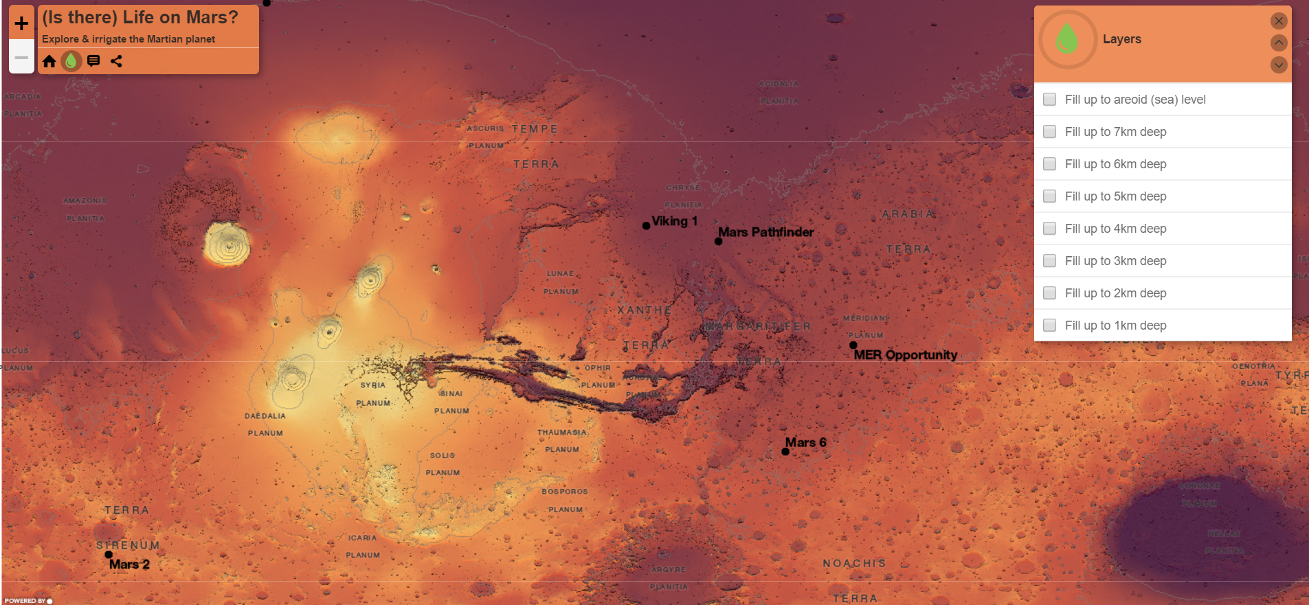
On this blog, we talk a lot about how GIS relates to everyday life. But, one of the best things about GIS is it enables us to explore hypothetical situations in very cool ways. A great example is a new map on Esri titled "(Is there) Life on Mars?"
This map allows you to "fill up" the surface of Mars with water, showing what the planet could look like, and potentially what kind of life might be (or could have been) possible. Additionally, the map allows you to click on different features within the map to learn more about craters or spacecraft landings at that location.


Go check out the map, and have fun thinking about the "unknown" made a little more known thanks to GIS!
