
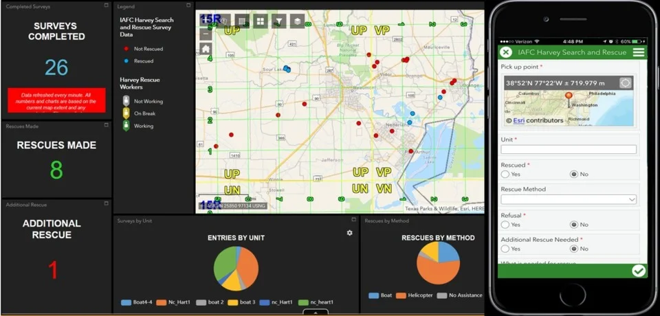
May 4th is recognized as International Firefighters' Day! So, how hot is GIS when it comes to fighting fires? Firehouse Magazine published an article on how the NAPSG (National Alliance for Public Safety GIS) Foundation assists first responders throughout challenging events and disasters by contributing GIS-based field information and situational awareness tools. Chief Charles Werner, a member of NAPSG Foundation’s Board of Directors, writes about achieving actionable levels of situational awareness. He describes how GIS has increasingly become a tool for all fire service organizations to analyze their response times, determine fire station locations, real-time location data/situational awareness, etc.
Click on the image below to read the article!

A big thanks to the firefighters out there!
