
Sunday, April 22nd is recognized as Earth Day. With the theme this year being, “End Plastic Pollution,” we will look at various ways in which GIS has contributed to our understanding of the issues surrounding marine plastic pollution.
The highlighted link below provides an activity involving an interactive map, which allows users to investigate marine debris, the role of gyres (large systems of rotating ocean currents), and how humans impact trash accumulation.
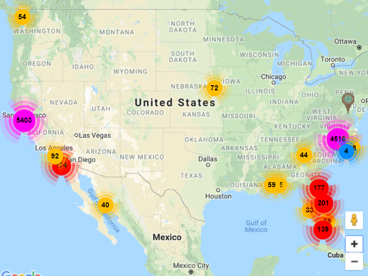
Now, what is one way we may easily utilize GIS technology to make a difference in marine pollution? The Marine Debris Tracker is a mobile application began by the NOAA Marine Debris Program and the Southeast Atlantic Marine Debris Initiative (SEA-MDI). The application enables citizen scientists to collect standardized data on marine debris promptly, productively, and on a global scale. By clicking on the image below, we are able to learn more about the Marine Debris Tracker, its functions, and its benefits.

This would be a neat application to test out if you are planning on joining a beach or river cleanup for Earth Day this weekend!
