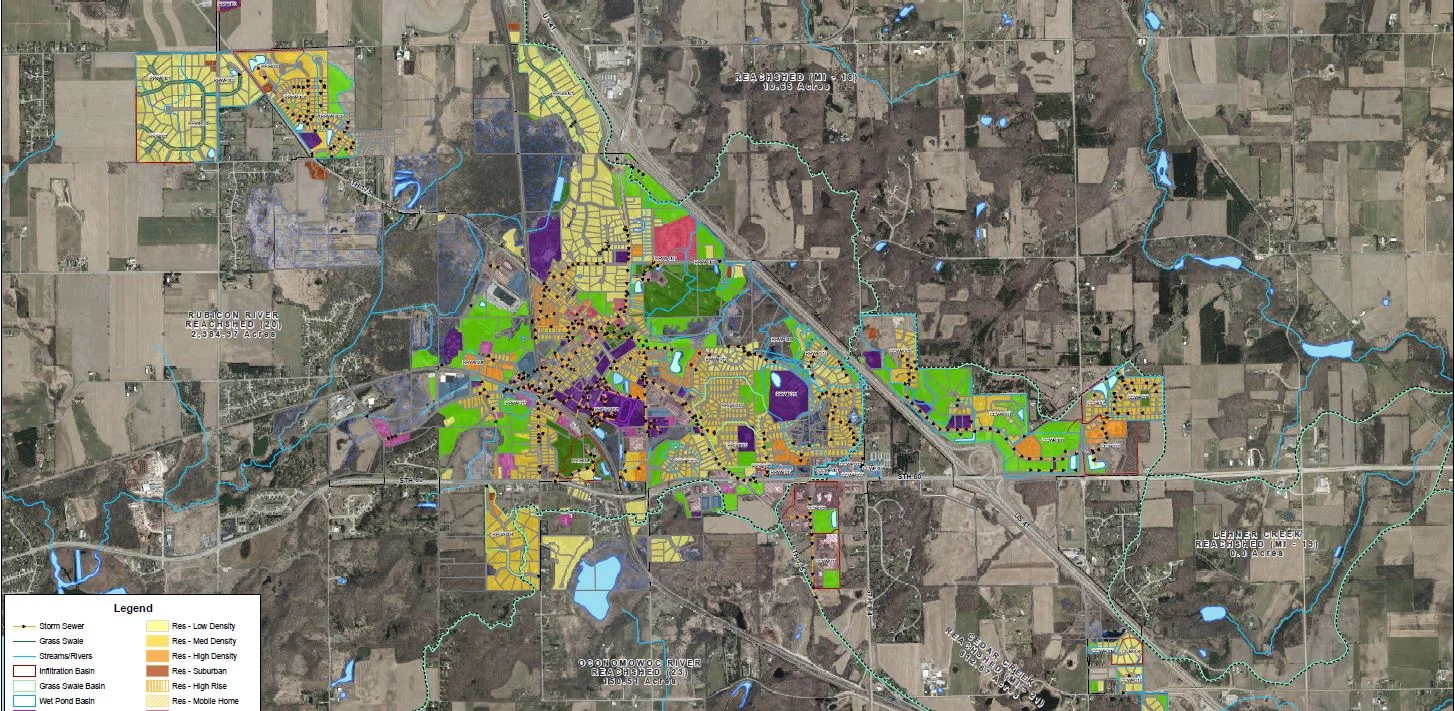
Integrating your community’s water model data into your GIS allows your team to use and analyze this data whenever and wherever it’s necessary. Quick access to this information will help you swiftly field questions from stakeholders (like when a developer inquires about water availability) and make important decisions more efficiently (like identifying closed valves or failing structures).
Water modeling can also help your team:
Better understand your water system and its demands, pressures, and flow capacities
Evaluate your system’s water age
Develop efficient design and location alternatives for new structures
Evaluate the performance of existing structures
Plan for future development expansions and increased water demands
Design flushing programs
EXAMPLES OF WATER MODEL DATA IN GIS
Available Fire Flow
The available fire flow is the maximum flow that can be provided at individual hydrants while maintaining a minimum pressure of 20 PSI in the system.
Residual Pressure
The residual pressure is the anticipated pressure at the hydrant when delivering the available fire flow.
Static Pressure
Static pressure is the pressure at a point when there is no flow in the system.
Critical Point
Critical points are locations in the water system where residual pressures would drop below 20 PSI if fire flows would exceed the calculated available fire flow rate.
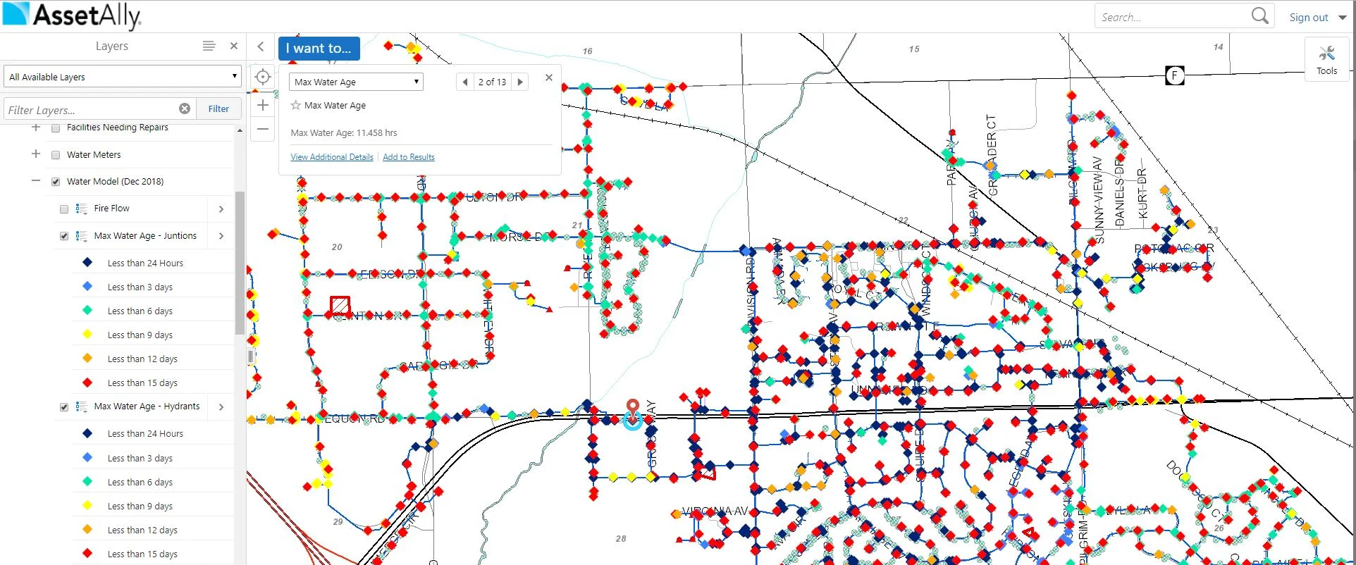
Water Age
Water age is the time it takes for water to travel from the source to the consumer.
HOW WE CAN HELP
If you’re interested in learning more about how Ruekert & MIelke, Inc. and AssetAlly can help your community develop a water model and/or integrate your water model data into your GIS, please contact one of our experts today!