
Municipalities are showing more interest in publicly sharing their GIS data, and with good reason! This is a great way for communities to share important information with residents, offering user-friendly access to essential resources like garbage collection day maps, and helping communities tell inspiring, interactive stories surrounding current municipal improvement projects. Openly sharing these resources online can also reduce the amount of time your staff spends fielding resident phone calls, emails, and walk-ins.
AssetAlly and ArcGIS Online
No two communities are exactly the same, which is why one-size-fits-all public outreach solutions don’t work for municipalities. ArcGIS Online offers custom configurations and style elements that can be shaped to meet your community’s unique public mapping needs. The cloud-based software works great with AssetAlly, allowing municipal users to take their internal GIS data and make it more accessible to the public.
Below you’ll find examples of how our technology experts helped communities share important public resources and tell compelling project stories using their GIS. To learn how we can do the same for your municipality, please contact us today!
Public Mapping Applications
Public mapping applications are interactive, web-based maps accessible to anyone through a provided link. These maps can show helpful resources like parcel information, zoning codes, trash collection day, memorial trees, and more. Search tools, custom popups, and external links allow public users to easily find information without calling municipal staff. Once the map is created, sharing this information with your community is as simple as adding a button or link on your municipal website.
public mapping Examples
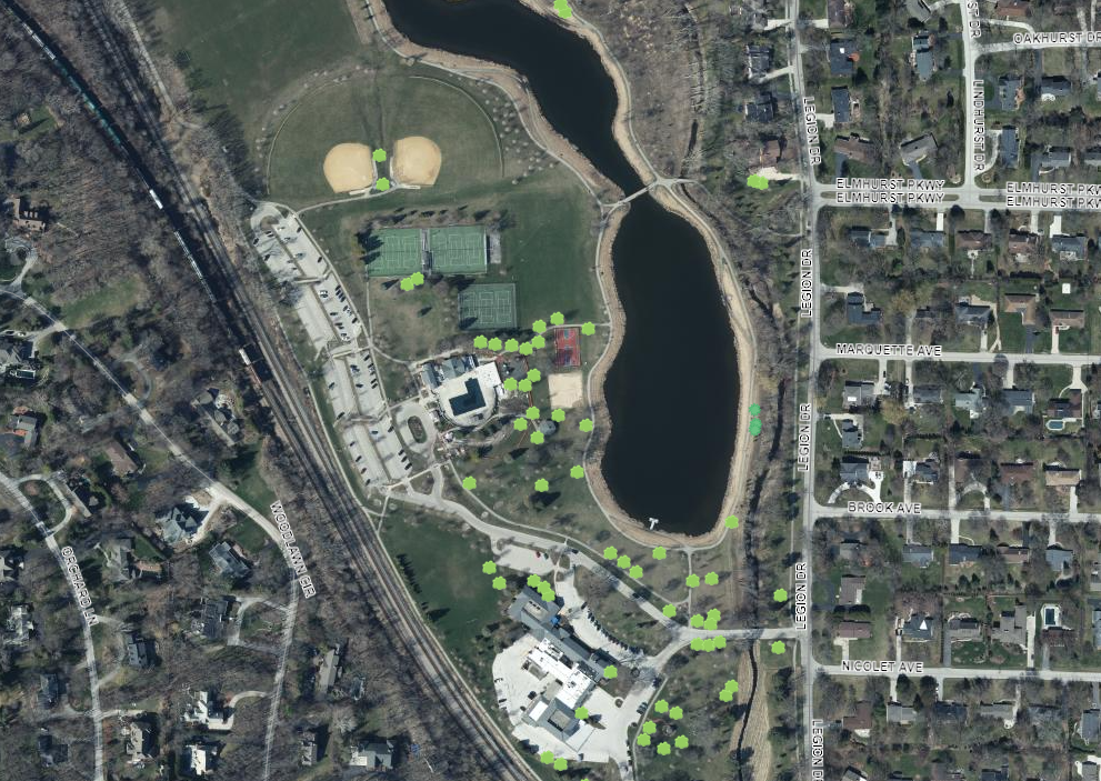
Elm Grove Memorial Trees
Users can easily find information on community donated memorial trees. This page also links to additional donor details and instructions on how to make a tree donation.

Users can locate their home on the map to find their trash collection day.

Users can search for an address to find property information, including a link to the county site for property taxes and assessments.

Users can search by name, year, or location to find burial data. The map also allows the public to search for available plots.

Story Maps
Story maps provide an in depth look at large scale topics or events, allowing them to be told chronologically through an interactive story. The narrative can be supplemented with additional maps, photos, and videos to highlight important project details. Communities can also replicate the color, style, and branding of their municipal websites within a project Story Map. Story Maps can be shared with community members through a direct link.
Story Map Example
City of Kenosha Storm Water Improvements
This Story Map allows the Kenosha community to explore the City’s remarkable storm water improvements project sparked by a 200-year flood event..

Tying it All Together with Hubs
Creating a Hub with matching municipal colors and themes is a great way to tie together different community tools, including public mapping applications, Story Maps, embedded content, and links to external password protected private maps for utilities.
Hub Examples
Elm Grove HUB


Learn More
To learn more about how AssetAlly and ArcGIS Online can help your community share important public information, tell visual project stories, and save your staff valuable time, please contact our experts today!
