
December 7th is recognized as National Pearl Harbor Remembrance Day in the United States, which took place 76 years ago on this date. If you click on the image below you will be linked to an in depth and engaging story map (via Esri). The story map utilizes pictures, videos, and maps in order to retell the complex events that took place at Pearl Harbor.

National Geographic also provides an interactive map which includes audio/visual detailing the events and how they unfolded throughout the day.
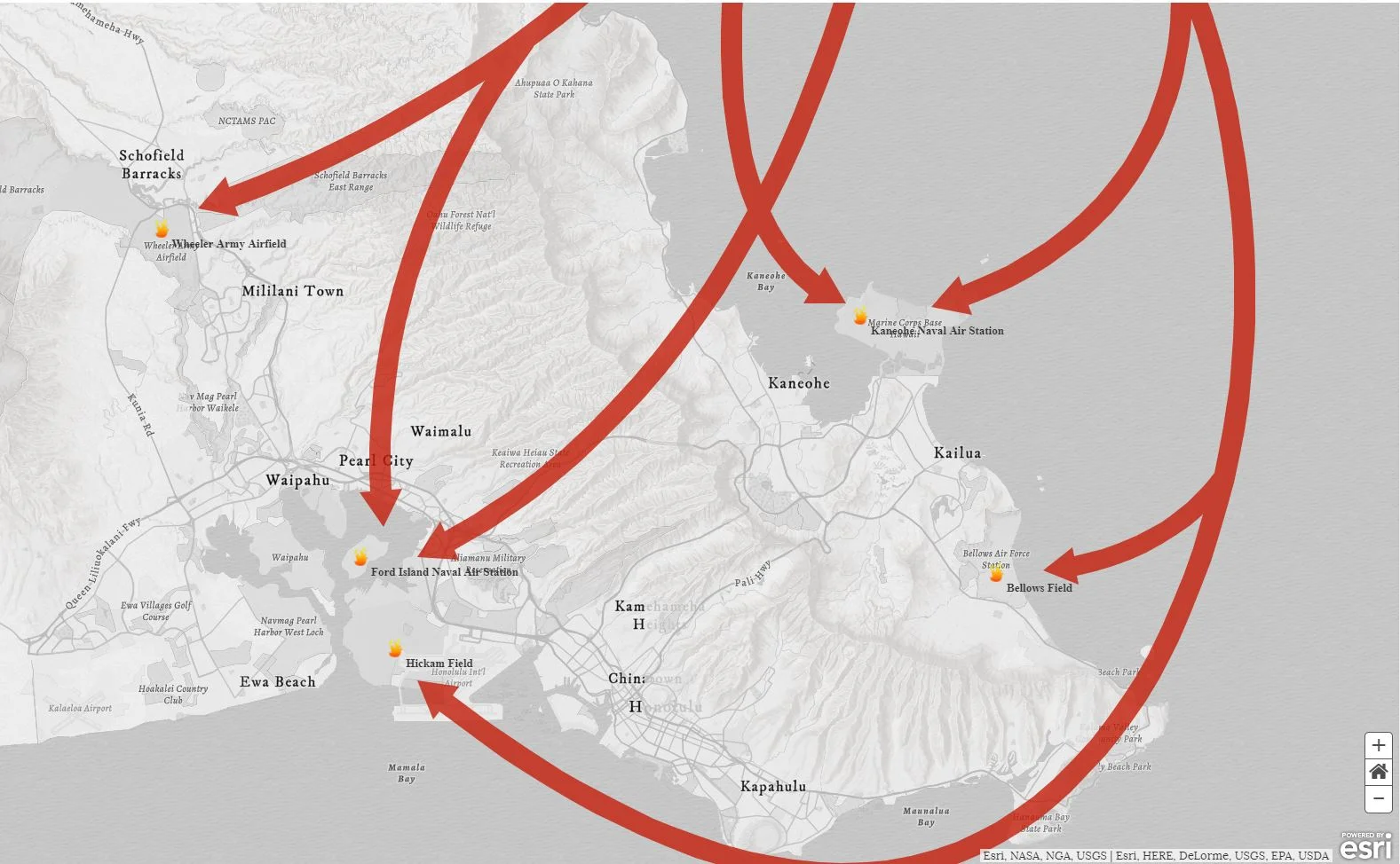
Another interactive map related to the tragedy at Pearl Harbor may be accessed by clicking on the below image.
The globe displayed on the front page of the site allows users to zoom in on Oahu Island, where Pearl Harbor is located. You will find detailed reports from witnesses and their location when the tragedy occurred, shown as small round pictures on map; rectangular pictures describe certain places. After clicking on it you will see a pop-up window with the story of each person and location.

The map contains layers of photos taken by aircraft or drawn in 1941, which gives us the opportunity to compare them with actual data collected via satellite. One of the more compelling images includes a Japanese handcrafted map with detailed attack plans of attack. To enable the layer you need to click on the slider icon on the top right of the page and toggle it on. All the photos in the archive were initially black and white, but hovering the mouse over a photo automatically converts it to color. The goal of the website is to 'portray events from the past in a way that will resonate with people today.'
