
Did you know that one of the additional GIS services we offer you (our wonderful clients) is linking CCTV inspection information into your application?! The process of linking CCTV data into your GIS is similar to the process we use for Linking As-builts.
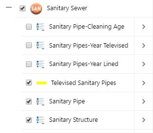
Those who choose to utilize our CCTV linking service will find a sub-layer in your application which is titled, "Televised Sanitary Pipes." This allows you to track the progress of your video linking.
As seen in the screenshot below, you are able to select a piece of televised pipe and view the details.
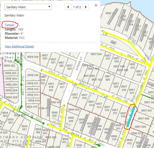
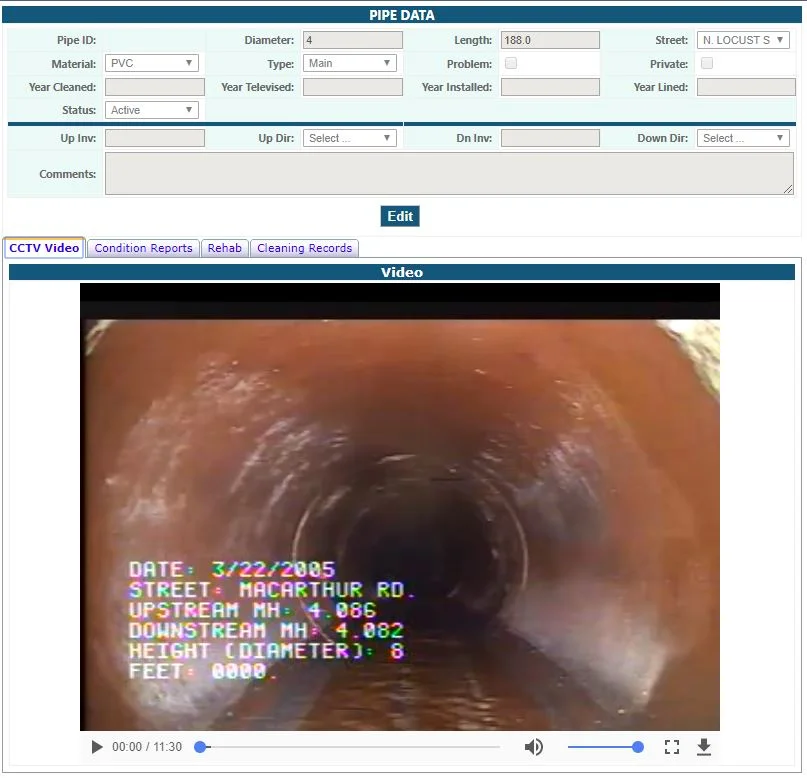
This will lead you to data on the pipe segment.

CCTV inspections provide you with details about the internal pipe conditions of your municipality's wastewater collection system. Video images provide confirmation of internal pipe conditions. Having access to this information in your GIS is extremely beneficial and efficient (particularly to crew working out in the field who need to keep up with maintenance of utilities.)
Please get in contact with our GIS staff at Ruekert & Mielke if you have any questions about the service. We would love to hear from you!
