
On April 5th, 1964, driverless trains first ran on the London Underground. Well, that was awhile ago and my how technology continues to progress! With all the discussion of self-driving cars lately, we figured it would be interesting to look into the role(s) GIS plays in the ever-growing industry.
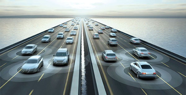
According to the article, Self-Driving Cars and the Role of GIS in Future Transportation, "mapping an environment detailed enough for self-driving cars is a daunting prospect, but the field of Geographic Information Science is up to the task." Goals of the GIS industry within upcoming years include mapping autonomous cars and their surroundings with the precision of a few centimeters and placing this mapping system in real time.
Collecting data of this size is even a challenge for huge, well-established companies such as Google, but many are beginning to automate and crowdsource the process of spatial surveying. These details are crucial for fully functioning automated cars. Additionally, powerful processors must repeatedly be updated and streamlined so self-driving cars can recognize threats and repair them instantly.
A couple related articles worth reading:
Disrupting the Autonomous-Vehicle Industry with Crowdsourced Maps
Your Next Gig: Map the Streets For Self-Driving Cars
Thank you for stopping by. Maybe next time we will be writing to you from a self-driving car!
