Did you know that globally there are approximately 40-50 lightning flashes per second?! Maps that provide us with the distribution of lightning across the world are utilized for environmental, economic, and safety purposes. Lightning is a danger to humans, wildlife, and livestock. It also causes BILLIONS of dollars in damage to buildings, communication systems, power lines, and electrical equipment. Click on the image below to learn more about the importance of mapping lightning:

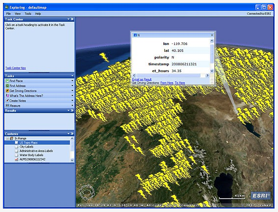
Also take a look at this example of how lightning strike data can be captured and used in GIS (click on below image):