

Municipalities use zoning ordinances to define appropriate residential, commercial, and industrial land use within their communities. As communities evolve, zoning ordinances are continuously updated to accommodate necessary changes.
It can be labor-intensive to stay on top of ever-changing zoning maps. To help your community save time, energy, and money, the Zoning Tool in AssetAlly allows you to edit your zoning maps with just a few clicks.
ZONING TOOL HOW-TO
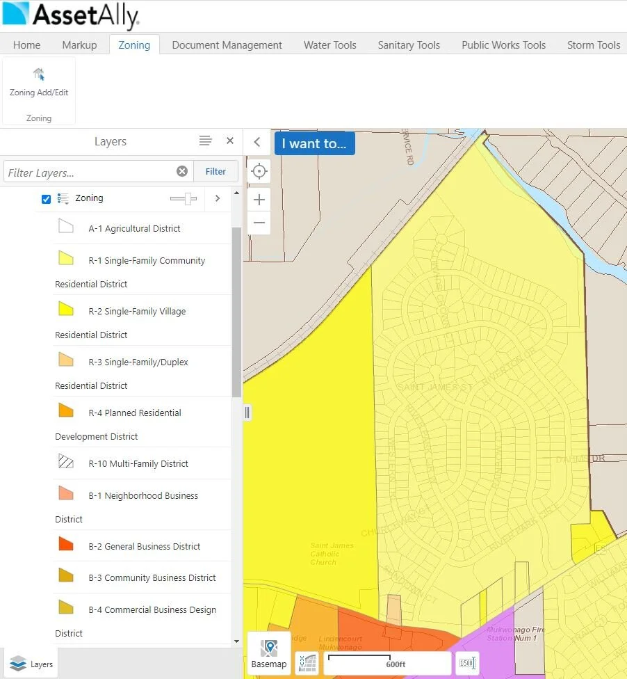
To use the Zoning Tool, first turn on your Zoning Layer, activate the Toolbar, and click on the Zoning Tab (pictured below).

To view the legend for the map’s different zoning colors, click the Legend button.

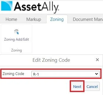
To add or change existing zoning data on the map, click on the Zoning Add/Edit button in the Toolbar.

Choose the Geometry Type that best suits the parcel zoning codes in need of updates within the map layer. After selecting a Geometry Type, select the parcels you’d like to edit on the map.

Click OK, then use the Zoning Code drop-down menu to select the code you’d like to view on the map. Click Next.
That’s it! The Zoning Code is now updated on the map.
LEARN MORE
The Zoning Tool in AssetAlly is efficient and user-friendly. If you already have a Zoning Layer with data in your site, you can use the Zoning Tool to make changes at any time. If you don’t have zoning layer in your site yet, or if you’d like to learn more about the benefits of the Zoning Tool, please contact one of our experts today!
