
The winter storms are coming. Do you need help visualizing how to clear your roads of a snowy mess? The Snow Plow Routes tool can help. This tool is designed to allow you to draw, edit, and share your plow routes in your already existing GIS application.
If you already have plow routes defined, this tool can help you keep them up-to-date by editing existing segments. In the example below, we're starting as fresh as a first snowfall.
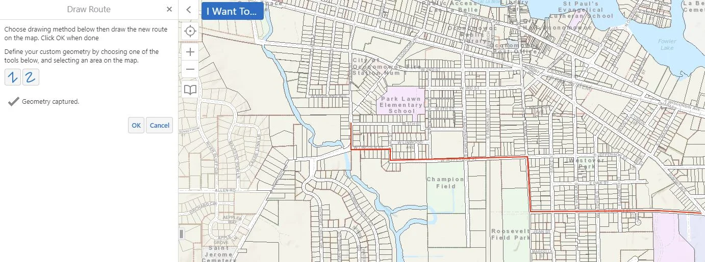
A route can be added by selecting the Plow Routes tool which will prompt you to start drawing.


Once you have drawn in a plow route, you are prompted to fill in the data shown below (as desired).

After saving a plow route, you are able to edit, remove, or view details on the route by simply clicking on it within your GIS viewer.
If you already have maps of your routes, our GIS team can help expedite the process by efficiently drawing the routes into your application to match your present maps.
Once the snow plow routes are in your GIS you may even export PDFs to distribute to drivers or put this data layer on a public map. Using the built-in symbolization tools, you can color-code the routes based on Route Identifier, Driver, or Truck to get the best all-around view of your data.
Contact us at Ruekert & Mielke Inc. if you would like more organization in your community with the unpredictable winter weather ahead!
