

This upcoming Monday (August 21st, 2017), the sun and moon will align, giving Americans a front row seat to a rare celestial event - a total solar eclipse (of the heart...sorry)! You can click on the following image below to link to a variety of websites, maps (some interactive) which show the path of the 2017 eclipse, eclipse calculators, and other unique information pertaining to the subject matter.

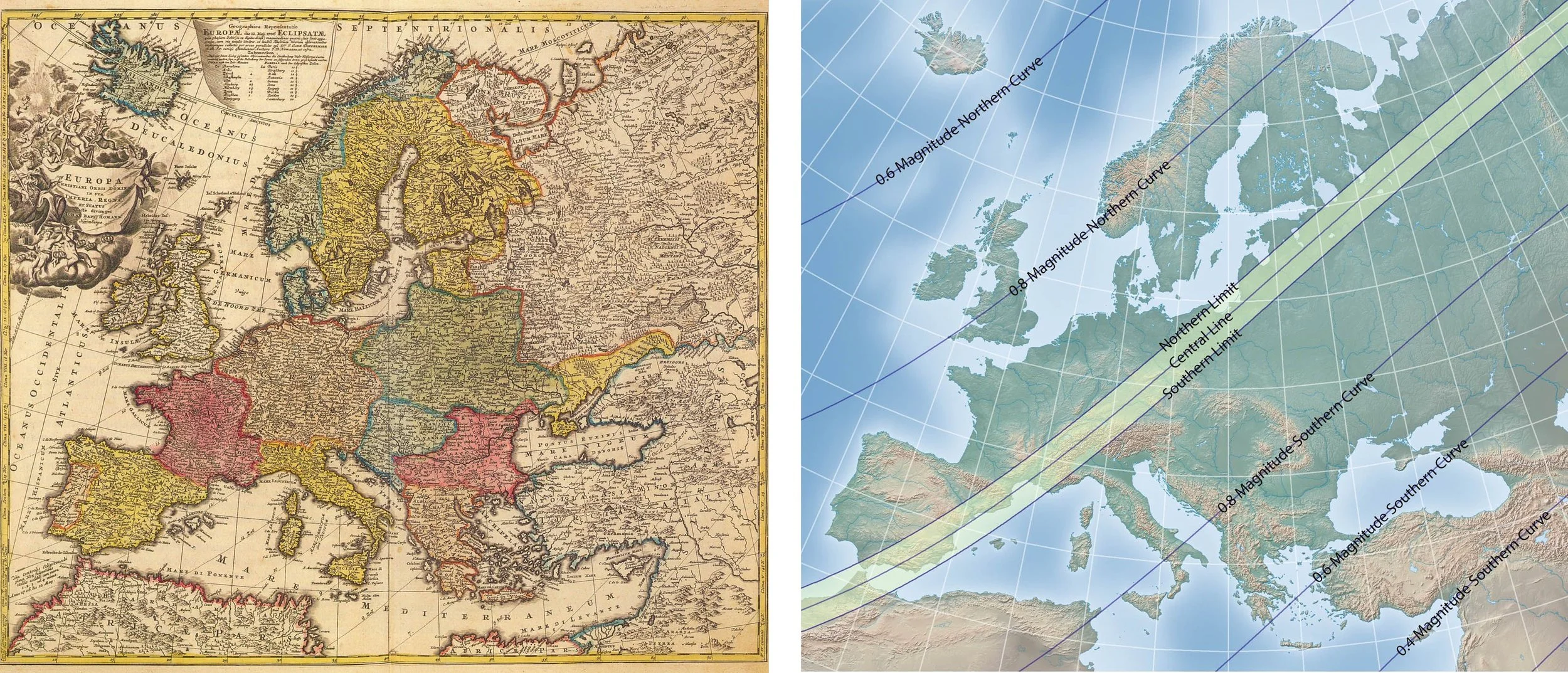
Eclipse cartography, otherwise known as maps predicting and tracking celestial activity and its influence on Earth, thrived during the Age of Enlightenment (approx. 1650-1800).
Pictured below is the earliest known solar eclipse map of August 12th, 1654. The map was composed by German astronomer, mathematician, and professor Erhard Weigel. Click on the image to read more about the history of eclipse cartography!

The last time any part of the U.S. experienced a total solar eclipse was on February 26th, 1979. The path of the eclipse started in the Northwest, beginning in Washington and traveling east to North Dakota before moving to Canada. The year our nation declared its independence (1776) was the last time a solar eclipse occurred ONLY over the U.S. and in no other country, as it will do next week. This is an exciting occurrence, and hopefully some of us are able to travel to areas where we can see all phases of the eclipse!
