
Whether you’re a new client, a new municipal employee, or long-time power user, it’s important to know what makes AssetAlly so different from other GIS providers in order to effectively maximize its benefits across all users and departments.
There are so many reasons why AssetAlly stands out as the best GIS solution for municipalities, but for the sake of time, we’ll highlight our three favorite examples here.
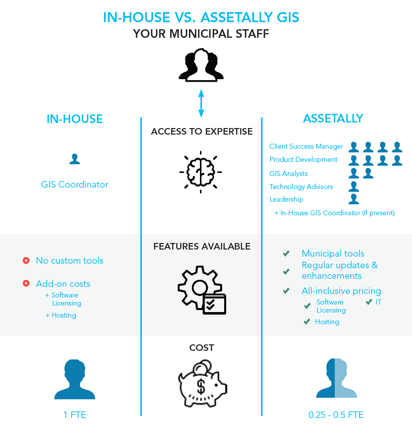
1. YOU HAVE ACCESS TO top industry EXPERTS
You don’t have to explain the ins-and-outs of your work to us or worry about whether or not our staff will be able translate your needs effectively, because unlike the many one-off, “custom” GIS solutions out there, AssetAlly was designed to meet the specific needs of municipalities like yours. Our GIS is backed by more than 20 years of testing and innovation with the help of our partner communities.
Our GIS team is supported by the robust staff of civil-engineers, environmental experts, and technology professionals at Ruekert & Mielke, Inc. (R/M). As a result, AssetAlly developers and client managers understand the needs of municipalities in a way that other providers and in-house GIS coordinators simply can’t match. If you have questions beyond the scope of our GIS functionality, search no further- odds are one of our experts has the answer for you.

2. YOUR ENTIRE MUNICIPAL STAFF CAN USE ASSETALLY
Your GIS is fully functional and equipped with tools that benefit every department as soon as it’s implemented in your community. All licensing is included from day one, and you have unlimited staff and public log-ins at your disposal. You’ll never pay any additional costs to share information with other departments, members of the community, or public officials.
When you take advantage of this client perk, you’ll see an incredible return on your investment. The more AssetAlly users you have, the better! Your departments will cross-communicate more effectively, your assets will be updated and accessible, and your municipal staff will be more efficient.
3. You have ACCESS UNLIMITED TRAINING RESOURCES

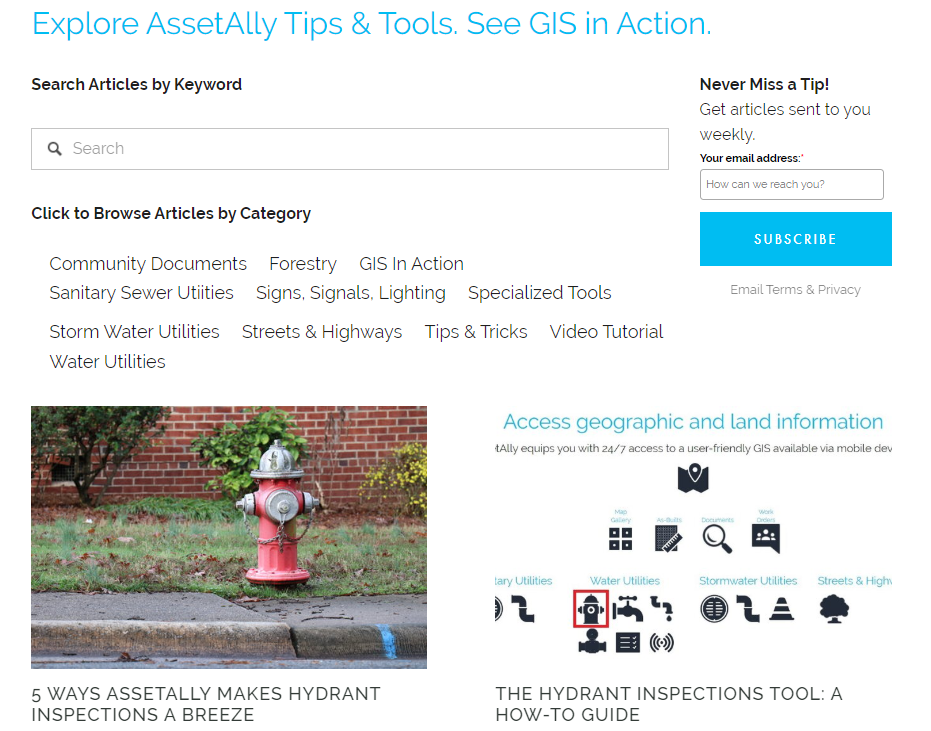
From online articles and training materials, to in-person guidance and GIS user group meetings, you and your team have an incredible support system at your fingertips. Browse the Resources section of our website for a huge library of user tips and how-to’s, video tutorials, webinars, and information on upcoming user group meetings.
Whatever your training needs may be, our team will work with you and your staff to help each user fully understand AssetAlly’s functionality.
Learn More
Not sure if you’re taking advantage of everything your GIS has to offer? Contact our team today, and we’ll make sure you’re utilizing all the great benefits that come with AssetAlly.
