
While using AssetAlly, you may have noticed that sometimes information is only available depending on how closely you are zoomed in or out on the map. This is due to each layer having a set range of visible scales.
In order to maintain GIS applications that are useful, aesthetically sensible, and quicker to load, we try to display only pertinent information on your screen. For example, showing parcel numbers on top of lots would be impossibly hard to read if the map was zoomed out to see a whole city. Once zoomed in at a neighborhood level though, displaying parcel numbers becomes quite useful.
Conversely, some information is hidden once zoomed in on your map. Municipality names are important to see when looking at large areas in a county, but become a nuisance once zoomed in to the level of individual parcels and take up valuable space for other annotation, such as dimensions.
While visible scale ranges are useful, they can also be confusing. One common case is when you have checked a layer to turn on, but cannot see any of the information it's supposed to add to your map. We'll show you how to deal with this below.
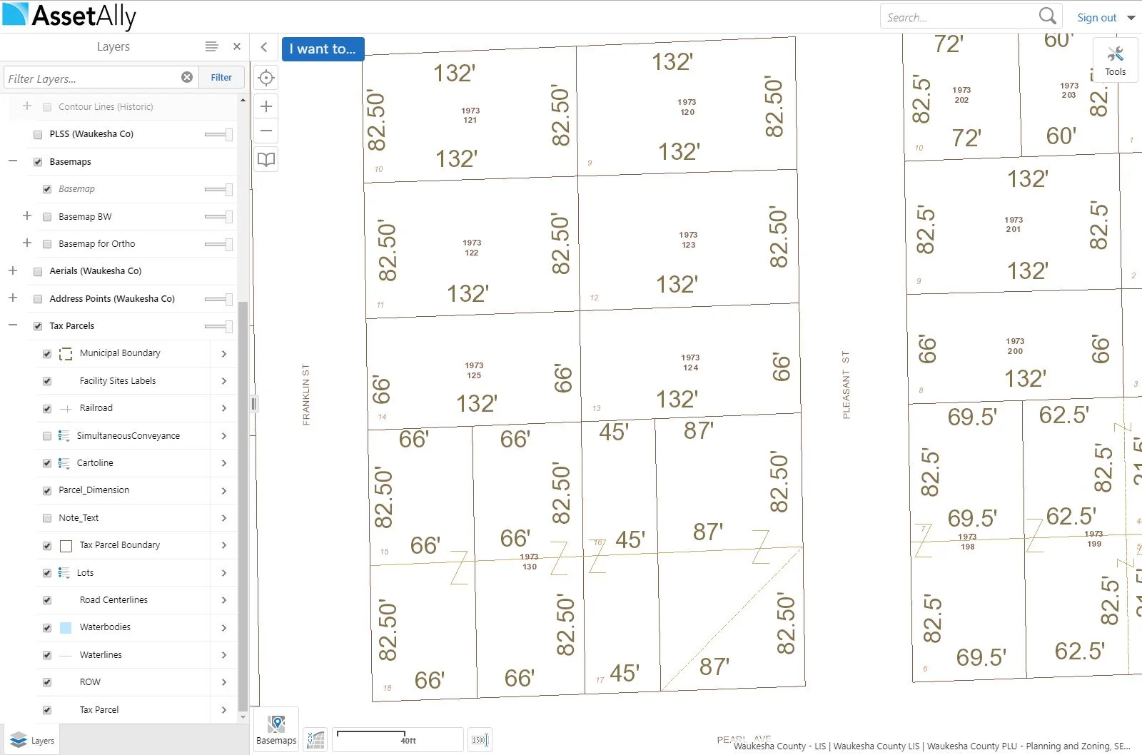
The image above shows that all Tax Parcels layers are turned on, but the map to the right is displaying rather minimal content. What's going on? If you look at the layer list, you'll see that "Municipal Boundary," "Facility Sites Labels," "Railroad," etc. text are all light-gray instead of black. This means that they are not visible at this scale, and you either need to zoom in or out to see them.
Zooming in on the Tax Parcels layer a little bit now shows "Lots" and many of the other sub-layers in black text now instead of gray, indicating that the layer is now visible at this scale.
We hope this clears up any confusion you may have been having about how data is displayed within your application!
