Streets & Highways

The Map Gallery and Your Frustration-Free Future

The Map Gallery and Your Frustration-Free Future

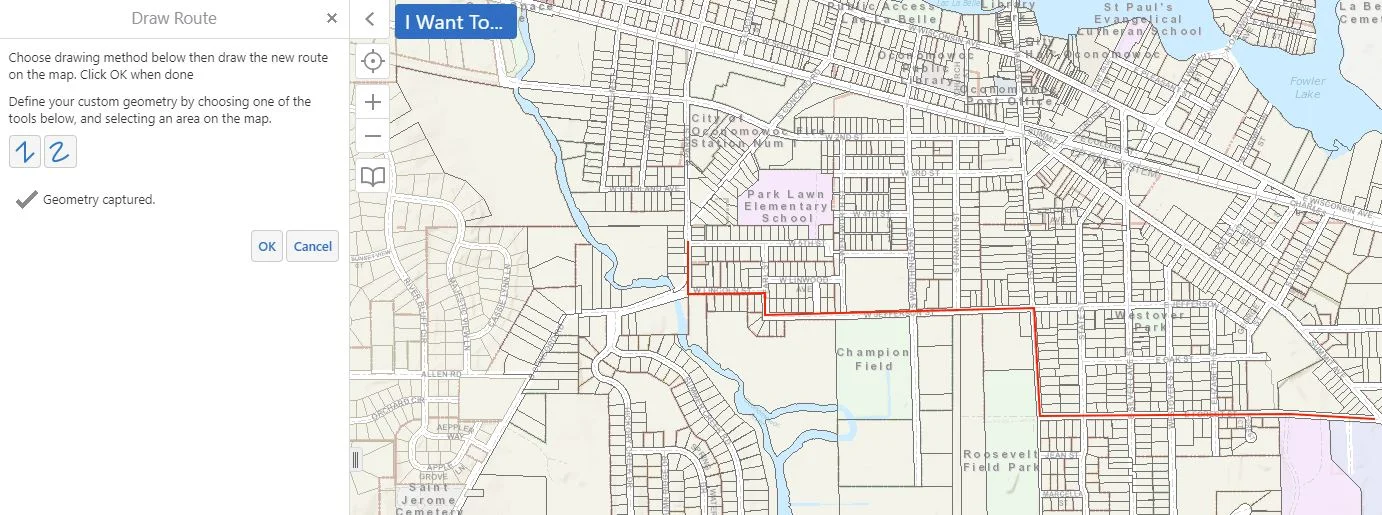
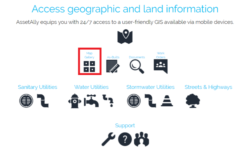
Learn how the Map Gallery function in AssetAlly can help you and your team avoid unnecessary interruptions.and increase efficiency by giving you access to your address, utility, zoning, road maps, and more in one convenient, filing cabinet-free, digital location.

Visualize Your Road Ratings Data in GIS

Visualize Your Road Ratings Data in GIS

Every odd year, Wisconsin municipalities are required to conduct road ratings and submit their findings to the Wisconsin Department of Transportation (WisDOT). Learn how AssetAlly can help your team visualize your ratings and the evolving state of your community’s roads, making it easier to prioritize road maintenance and adjust your budget accordingly.