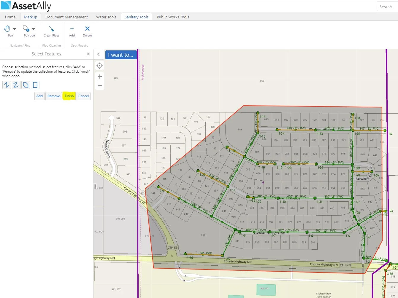
The Benefits of Attributing and Linking Asbuilts to Your Utilities

The Benefits of Attributing and Linking Asbuilts to Your Utilities

Populating attribute fields in your GIS may seem like a daunting or even unnecessary task at times, but the information being added to your utilities will more than likely come in handy down the line. Aside from being able to access important utility information quickly (pipe size, length, material, inverts, year installed, etc.), it can make searching for particular data in your GIS (such as documents) much easier. 

How GIS is Making Donating Easier

How GIS is Making Donating Easier

Today is World Blood Donor Day 2018. There are various ways in which GIS has contributed to saving lives through blood donation applications. Aside from blood donor applications, there are plenty of GIS based applications that focus on other forms of donation. Now, let's take a look at how GIS is assisting us in making the world a better place!

Why GIS is Important to Infrastructure Management

Why GIS is Important to Infrastructure Management

This week is National Infrastructure Week. GIS is a valuable contribution in terms of planning, managing, and maintenance of utility infrastructure. Identifying facilities, tracking work, planning operations and even doing marketing in utilities depends on having all of the data accessible and open for collaboration. Read on to learn more about the importance of GIS in infrastructure management. Success story included!

Symbolizing Sanitary Pipes By Material

Symbolizing Sanitary Pipes By Material

Today we will be showing you another fun way in which we are able to use the "Turn on/off layer visualizations" for symbolizing various attributes on your utilities. In our example today, we will be visualizing the sanitary pipes in our GIS based off of their material makeup. The first step is turning your sanitary pipe layer on. We will then click on the arrow next to the item in the layer list.

Layer Visualizations for Valve Repairs

Layer Visualizations for Valve Repairs

As you may know by now, you are able to create and view custom layer visualizations in your GIS. The extent of what you are able to do with these customization options is extensive, so we encourage you to get creative! In this example, we will guide you through the process of visualizing various valve repairs needed by displaying an array of colored markers.

Switch to Table View

Switch to Table View

If you are interested in looking at information in an area within your GIS application, then you are probably familiar with the "identify" tool.You may also be familiar with the typically long list of features that show up in the "Identify Results" viewer, even if only selecting a small section on your map. Of course, this list will be smaller depending upon how many layers you have turned on.

Women's History Month - Women in Mapmaking and Geospatial Technology

Women's History Month - Women in Mapmaking and Geospatial Technology

The month of March is deemed National Women's History month! We are going to mention a couple (of the many) ways in which women have contributed to the world of mapping. "As the United States entered WWII, trailblazing women like Bea McPherson, BS ’43, took on the task of providing essential handmade maps for the war effort—and charted the course for today’s women mapmakers."

Snapping Feature

Snapping Feature

Oh snap! Have you utilized the snapping feature in your GIS before? If not, we are here to give you a quick rundown on it's function/purpose! The textbook GIS definition of "snapping" is: The process of moving a feature to match or coincide exactly with another point or feature's coordinates when your pointer is within a specified distance. It is commonly used to increase accuracy when using a variety of tools including editing, georeferencing, and measuring tools.

National Boy Scout Day - Incorporating GIS into Activities

National Boy Scout Day - Incorporating GIS into Activities

Today is recognized as National Boy Scout Day, with the official birthday being February 8th, 1910. That is a long time! Using a paper map and compass are valuable and essential skills taught to Boy Scouts. However, we thought it would be interesting to explore some ways in which GIS has been incorporated into scouting activities. Fun fact: The Boy Scouts (and Girl Scouts!) offer badges that tie into GIS, such as geocaching and surveying.