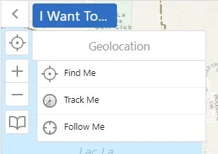
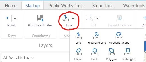
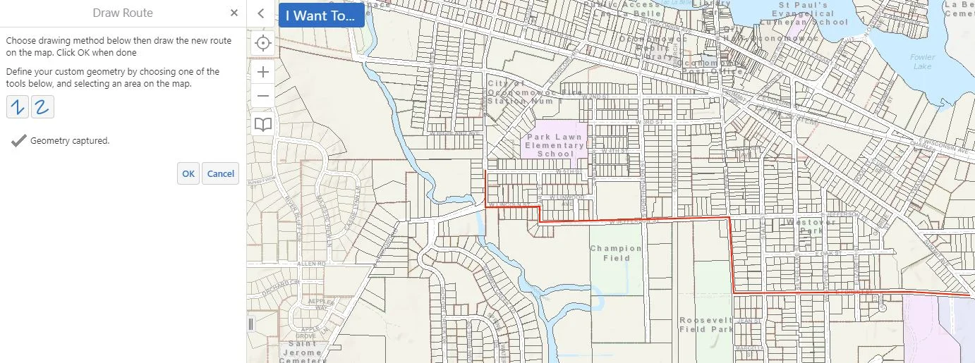
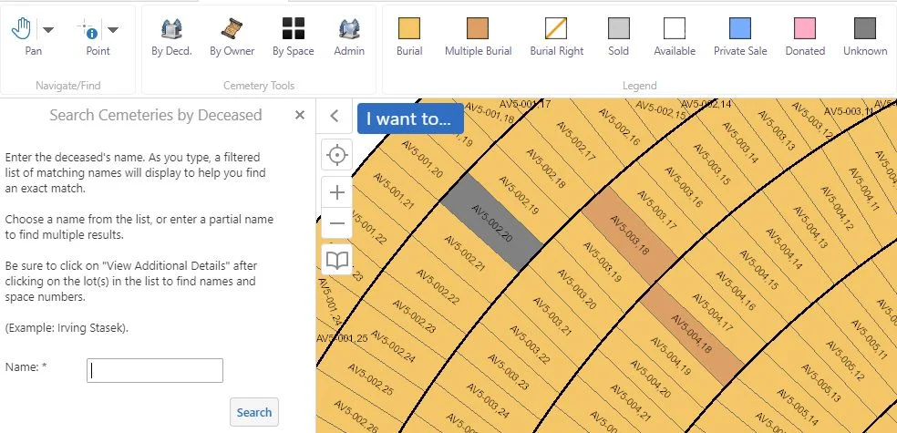
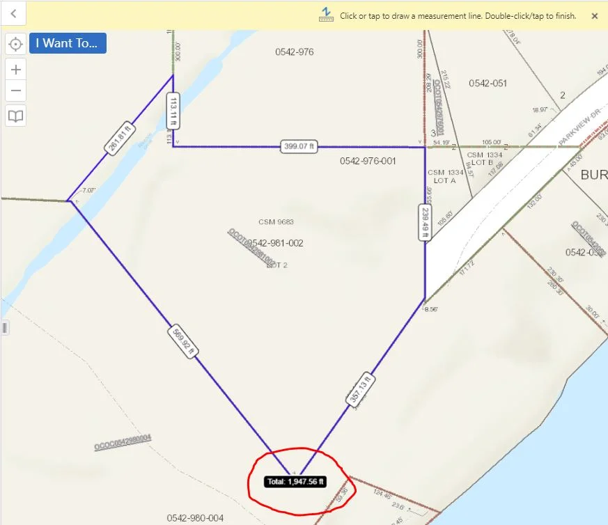
Oh snap! Have you utilized the snapping feature in your GIS before? If not, we are here to give you a quick rundown on it's function/purpose! The textbook GIS definition of "snapping" is: The process of moving a feature to match or coincide exactly with another point or feature's coordinates when your pointer is within a specified distance. It is commonly used to increase accuracy when using a variety of tools including editing, georeferencing, and measuring tools.
Changing Symbology and Color for Structures
Search Tools
Geolocation
Functions of the Measuring Tool
Today we will be going over the measuring tool. First, we want to choose a form of measurement. In this case, we will choose a polygon. The snapping feature allows for more accuracy in measurement. As you may notice in the screen shot below, we are also able to change our units of measurement by simply clicking on the drop down lists next to them.
Right-Click Menu
Mapping Snow Plow Routes with GIS
CCTV-Video Linked to Pipe
Cemetery Tool
The Cemetery Records tool is a specialty tool we offer as part of our GIS services. This tool is tailored to fit your data. Despite the rather grim topic, a Cemetery Records map can be quite efficient when made available to the public. For example, if a community member calls your municipality in search of a genealogy report, you can guide them to the cemetery map; this way, they are able to pull up the information they desire on their own.